

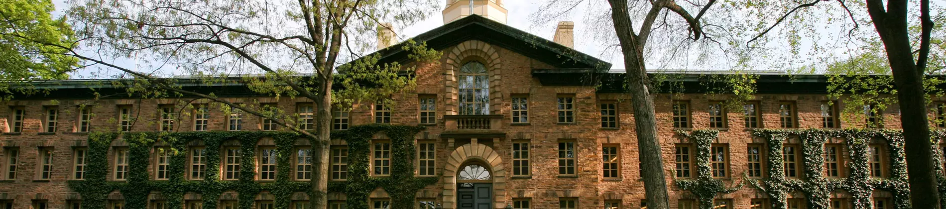


The Department of Geosciences and its affiliated interdepartmental programs and institutes serve as Princeton's central focus for the Earth, atmospheric, oceanographic, and environmental sciences. As such, the department encompasses a rich diversity of scientific expertise and initiatives that strive to understand Earth's deep structure, climate, biosphere, atmosphere and oceans, landscapes, and how these systems interact and evolve over all timescales.
Academics and Research
The Department of Geosciences covers a wide range of fields and actively promotes interdisciplinary study and research. Students with an interest in tectonics and geophysics, seismology, Earth history, geochemistry, geochronology, petrology, mineral physics, biological oceanography, environmental microbiology, biogeochemistry, paleontology, paleoceanography and paleoclimate and environmental geology will find most of their research and educational needs accommodated within the laboratories of Guyot Hall.
Atmospheric and oceanic sciences are an integral part of the department. Students typically pursue a degree through the AOS program (a joint program with the Geophysical Fluid Dynamics Laboratory, GFDL). In addition, Geosciences and AOS have close ties with the programs in water resources in the Department of Civil and Environmental Engineering and the High Meadows Environmental Institute (HMEI), and the Princeton Institute for the Science and Technology of Materials (PRISM). We also provide computational geosciences as an interdisciplinary graduate training program.
Graduate education within the department, in general, is strongly focused on research, as well as on developing a keen sense for the interdisciplinary nature of geosciences. Consequently, Princeton has been extraordinarily successful in mentoring students to move on to tenure-track positions in academia and leading research positions in industry or government laboratories. The department offers only a Doctor of Philosophy (Ph.D.) program, for which students with and without master's degrees may apply. The target time to graduation is five years.
Equipment and Facilities
Modern Earth science has a continuum of approaches, ranging from field studies to laboratory and theoretical work using sophisticated instrumentation and large computers. In addition to petrographic, mineralogic, sedimentologic, and paleontologic facilities for routine geoscientific inquiry, the department has specialized equipment for laboratory and field studies rooted in a wide array of disciplines.
Field Study: To assist field mapping campaigns, the department has a fleet of Fixed-wing and quadcopter UAVs, differential and standard GPS, laser total stations, field-iPads, deployable water depth, and chemistry probes, weather stations, structure-from-motion setups, underwater cameras, backpack drills, paleomagnetic drills, sediment coring devices, and tree coring devices.
Geochemistry: Specific instruments include three inductively-coupled plasma mass spectrometers for high-precision trace element (Thermo Element 2 ICPMS and Thermo iCap) and isotope ratio (Thermo Neptune MC ICPMS) analyses; microwave for rapid silicate dissolution; modern micro-XRF setup; gas chromatographs, HPLC, and ion analyzers; infrared, ultraviolet and fluorescent spectrometers; gamma and scintillation counters; ultracentrifuges; dissolved- and solid-carbon analyzers; and modern wet-chemical laboratory facilities. There is also a hydrothermal laboratory, including large-capacity rocking autoclaves, kinetic flow systems, optical high-pressure and high-temperature cells, and an internally heated high-pressure system.
Geochronology and Petrology: In addition to modern mineral separation and characterization facilities, Guyot hosts new clean lab facilities suitable for ultra-low blank trace metal geochemistry used for ion chromatography for Ca, Mg, Sr, U, Pb, Sm, and Nd elemental separation. The lab also has two IsotopX PhoeniX62 Thermal Ionization Mass Spectrometers used for high-precision U-Pb geochronology and Sr, Cr, Ca, and Nd isotope measurements. Mineral and rock geochemistry that accompanies geochronology is carried out in other facilities on and off-campus and within Guyot, such as in the ICPMS facilities.
The Ocean Tracer Laboratory: Includes alpha detectors and scintillation detectors for measuring low levels of radon and radium radioisotopes and a high-resolution intrinsic germanium well detector for gamma ray measurement.
The Stable Isotope Laboratory: Contains a new V. G. Optima gas source mass spectrometer, with peripheral devices for automated analysis of carbonate minerals and for automated loading and cleaning of CO2, H2O, and N2 gas mixtures. Off-line preparation facilities are available for water samples, organic materials, and minerals. A Thermo Scientific gas chromatograph connected to a Delta V isotope ratio mass spectrometer to make automated stable isotope analysis of small volatile carbon compounds.
Biological Oceanography and biogeochemistry Research: Focuses on carbon and nitrogen cycle processes and trace metals in the oceans and on land. Instruments include controlled temperature rooms for phytoplankton and bacterial culture, epifluorescence microscopes, centrifuges, scintillation counter, autoclave, atomic absorption spectrometer, laminar flow hoods, trace metal clean room, Europa 20/20 mass spectrometer, gas chromatographs with a variety of detectors including flame ionization, thermal conductivity, reducing compound photometer, and mass spectrometer, two Picarro cavity ring-down systems, Agilent liquid chromatograph mass spectrometer, Unisense microprobe, solvent evaporation systems, gel documentation system, and fully equipped molecular biological laboratories for protein and nucleic acid research.
Geophysics: The High-Pressure Mineral Physics Laboratory contains diamond anvil cells for high-pressure/temperature studies. The facility includes stereomicroscopes, microdrill, gas loading system, photoluminescence, and Raman and Brillouin spectroscopy. Access is also available to a wide range of national user facilities for conducting experiments, including synchrotrons, free-electron lasers, and high-powered laser facilities. Mineral characterization is supported by shared facilities on campus featuring multiple scanning electron microscopes equipped with elemental analysis capabilities in addition to backscattered-electron and cathodoluminescence imaging, TEM, and FIB (see the imaging and analysis center on Princeton's website).
Physical material study of virtually any rock volume can be accomplished in 3D with the serial grinding and imaging system (GIRI).
The Department operates two portable Nanometrics broadband seismometers (6 velocity and 3 acceleration components), currently installed in Guyot Hall's basement, and a fixed PolaRx5 Septentrio GNSS system with an integrated Vaisala WXT530 weather station, installed on the roof of Guyot Hall. It owns a GSSI 400 MHz ground-penetrating radar unit, a Geometrics G-859 Cesium magnetometer, a LR G-133 relative gravimeter, and various other smaller pieces of portable equipment (e.g., Raspberry Pi, Arable Mark, Garmin GPS) used mostly for teaching purposes.
We own sixteen Mobile Earthquake Recording in Marine Areas by Independent Divers (MERMAID) hydroacoustic instruments manufactured by OSEAN SAS, currently deployed in the Pacific. We also own proprietary seafloor-geodetic equipment manufactured by DBV Technology, currently at the Bermuda Institute of Ocean Sciences.
For numerical simulations of seismic wave propagation, tomographic imaging, and inversion, we routinely utilize massive computer clusters hosted and operated by the Princeton Institute for Computational Sciences and Engineering (PICSciE), and we gain access to even more powerful systems through the national supercomputing centers.